
Boulder is highly susceptible to flash flooding because it sits near the mouths of canyons in the foothills. In 1894, damaging floods were experienced in late May, during the time of spring runoff, when a heavy and constant spring rain was pinned against the western mountains by an upslope wind condition, dropping 5 to 8.54 inches of rain during that period. During this event, the crest of the water on Sixth Street reached twelve feet and nearly every bridge along Boulder Creek was washed out. Historical accounts of the 1894 flood attribute flood damage near The Highlands School to Gregory Creek, which had also caused significant damage to homes and property in many upstream locations.
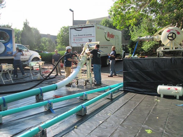
Significant flooding has also occurred in Boulder in 1896, 1906, 1909, 1916, 1921, 1938, 1969, and most recently, in September of 2013. Peak discharges during the major flood events have ranged from 2,500 cfs (cubic feet per second) to 13,000 cfs, and most of the storms occurred in either May or June. Flooding in Boulder County typically occurs as a result of snowmelt combined with heavy spring rainfall. However, record setting rains were widespread across Boulder from September 9 to 13, 2013 due to a moist tropical air mass from the Gulf of Mexico that was displaced into the region by air coming in from the south. An upper-level high-pressure system locked this storm against the mountains to the west, and rain fell for about a week. 17.6 inches of rain fell over a three day period, making 2013 the wettest year on record in Boulder. Flood hazards are a significant issue in the current planning efforts for the civic area, which includes portions of the Gregory Canyon Creek floodplain. The civic area planning efforts have committed to being proactive about planning for and educating about floods that support sustainable and resilient development.